lorem ipsum
lorem ipsum
lorem ipsum
lorem ipsum
lorem ipsum
lorem ipsum
lorem ipsum
lorem ipsum
lorem ipsum
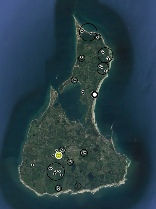
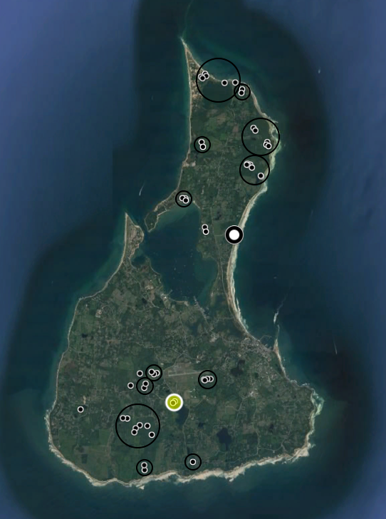
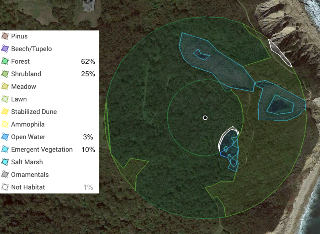
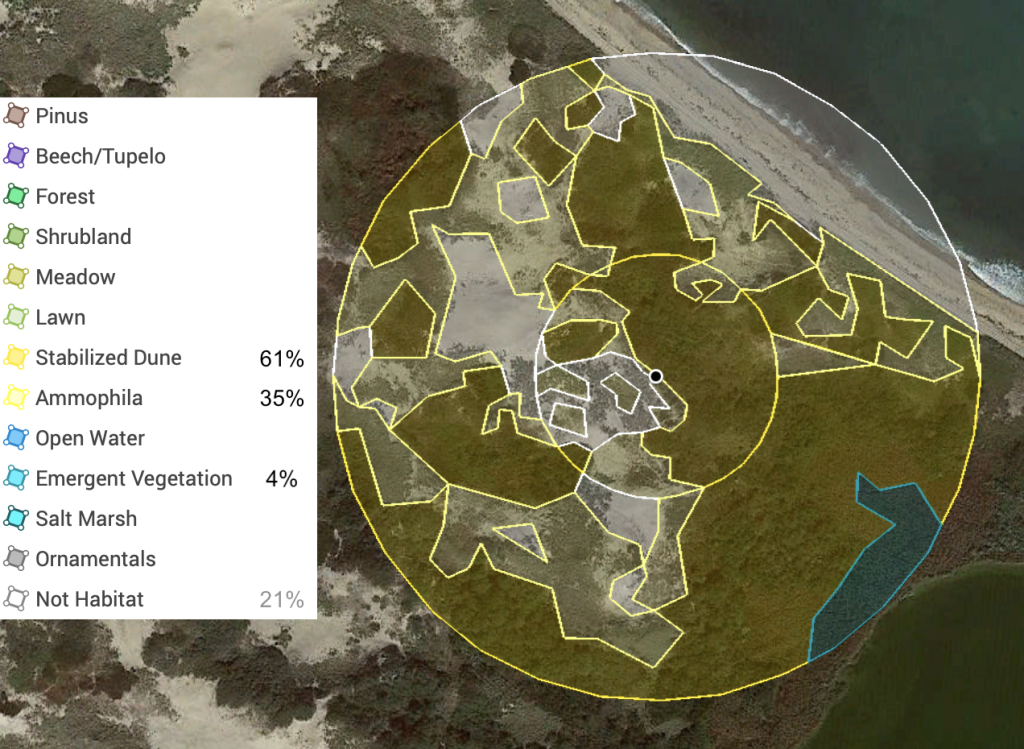
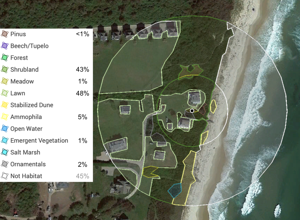
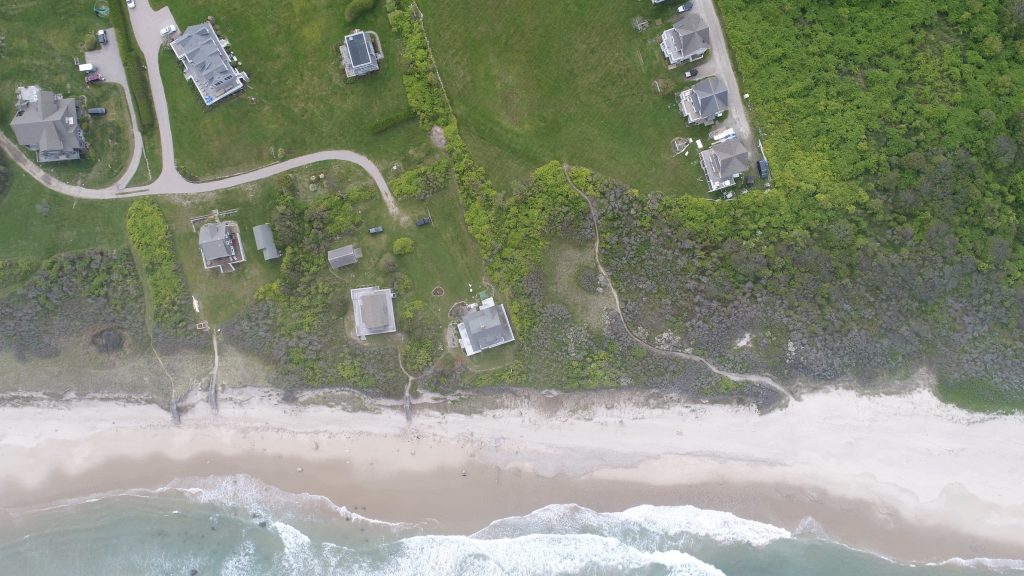
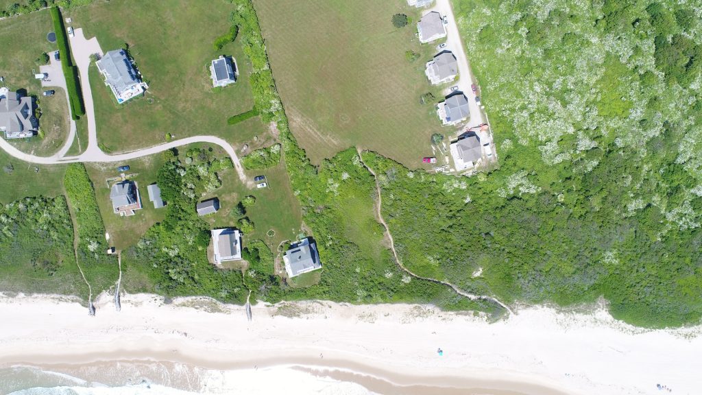
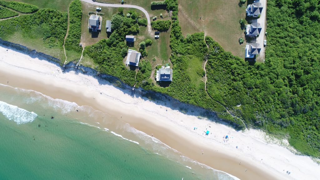
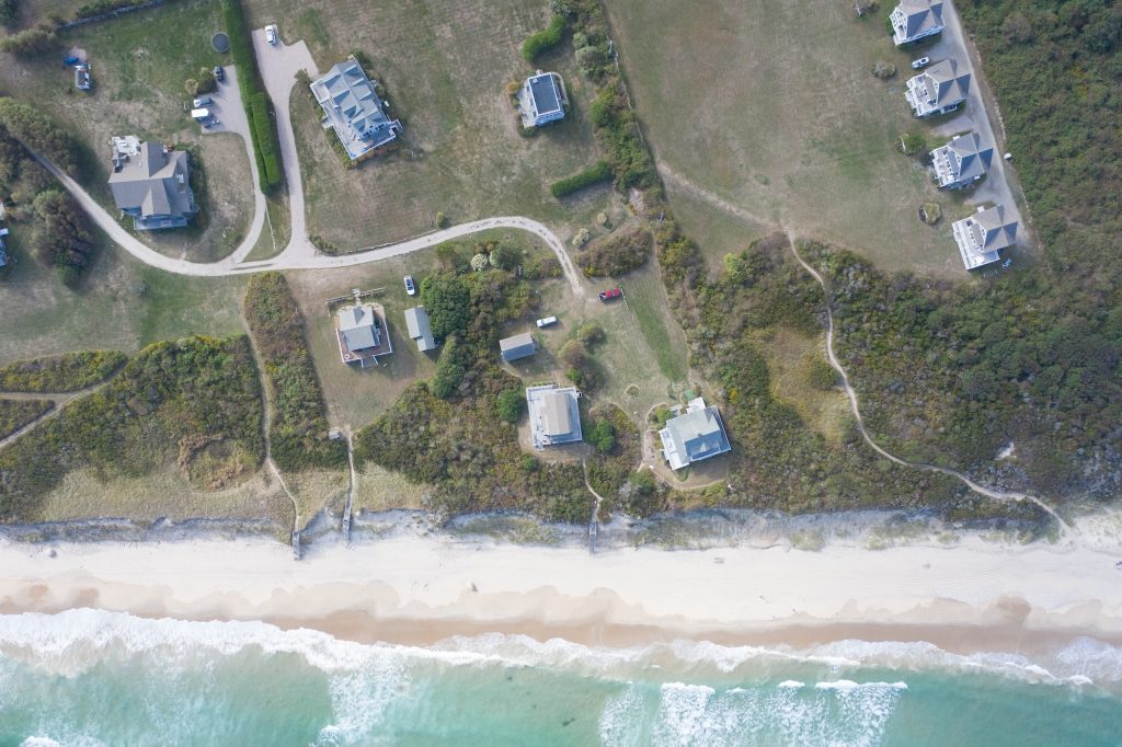
Hunt Property
This is the primary site surveyed, with more than half of all individual moths I have recorded since 2018 having been recorded here.
lorem ipsum