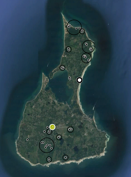
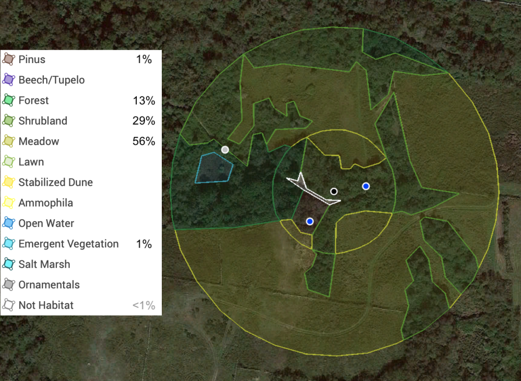
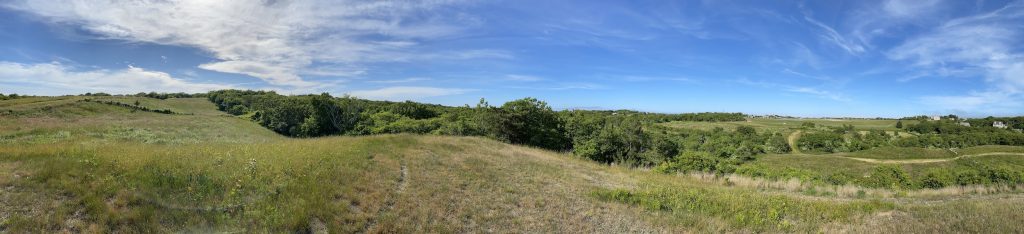
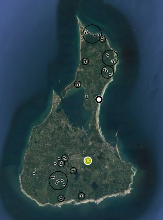
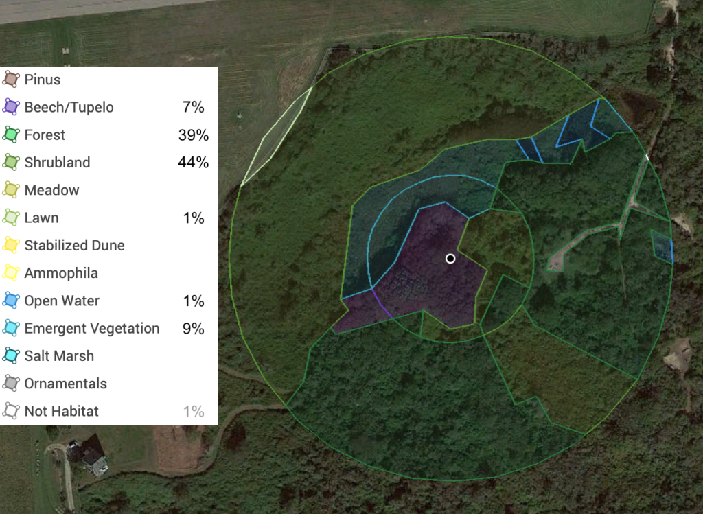
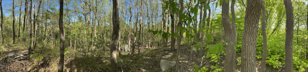
Figure 1. Location of study site ‘NMn’ on Block Island on map of all survey locations.Figure 2. Cover type map of study site NMn. Cover type is analyzed within 150′ (inner circle) and 400′ (outer circle) of a point between the two locations typically surveyed with sheets and UV light. Percent cover values are for within 400′ and exclude non-habitat cover. Sheets are usually placed at the two blue points; the light gray point has been surveyed only twice.Figure 3. Panoramic image taken from a hilltop at study site NMn, facing generally north. This hilltop is visible in the land cover map of this study site (Fig. 2) as a bare patch of dirt just southwest of the sheet location within a pine stand.
Figure 1. Map of Block Island with survey sites and areas and the Scout reserve survey area highlighted.Figure 2. Land cover analysis of the Scout reserve within 150′ and 400′ of a point between the two sites where sheets are set within the tupelo forest. Percent cover values are for within 400′ and exclude non-habitat cover.Figure 3. Panoramic image taken from within the beech and tupelo forest in the Scout reserve with one of the sheets visible in its usual location. Image taken 31 May 2020, just after tupelo leaf-out and with beech leaves already mostly grown.