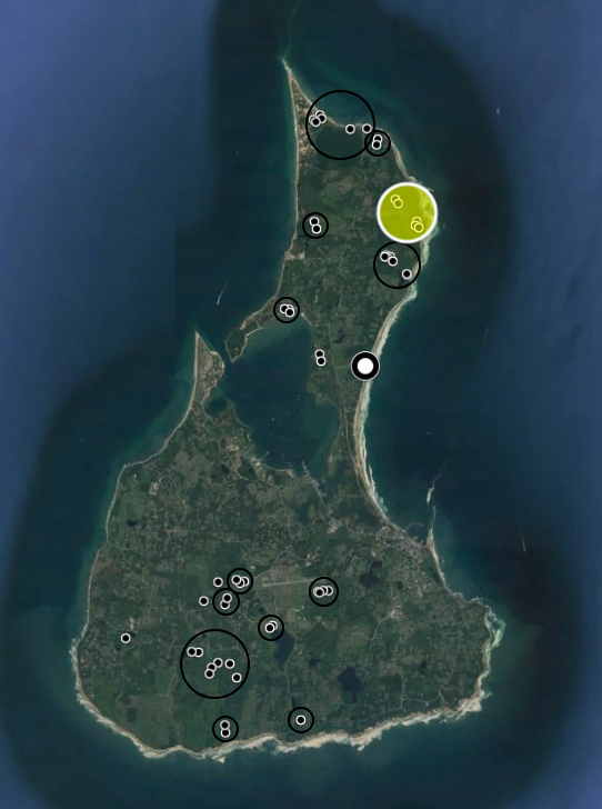
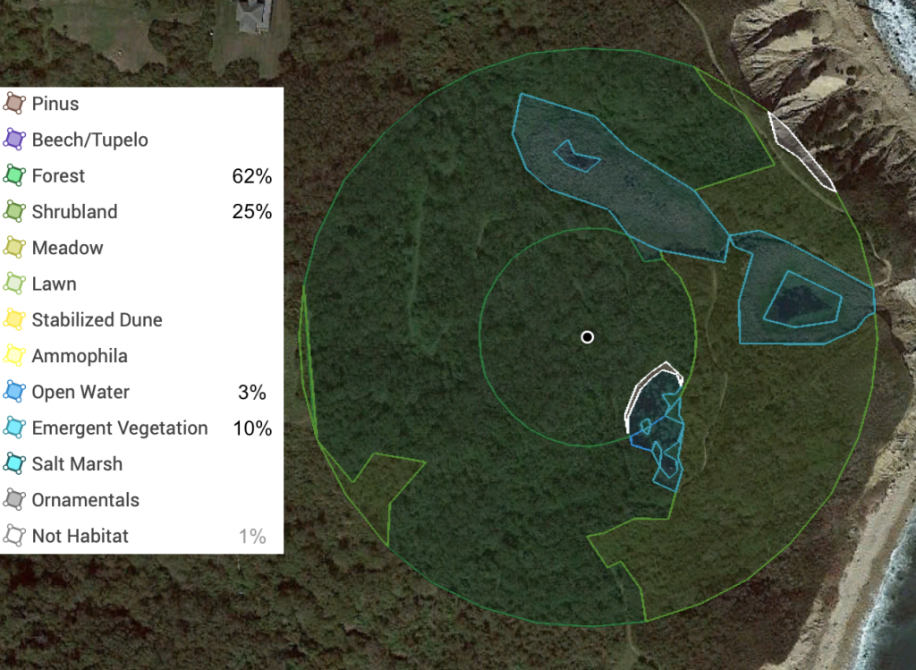
Figure 1. Map of Block Island with survey sites and areas and the more northern sites surveyed in the Clay Head preserve highlighted.Figure 2. Land cover analysis of the Hunt property area within 150′ and 400′ of a point near the center of the sites where I have set sheets since 2020. Percent cover values are for within 400′ and exclude non-habitat cover. The pair of sites in the northwest part of the highlighted area in Fig. 1 were surveyed only 14 July 2018 and are outside this map; I have not quantified land cover in that area.